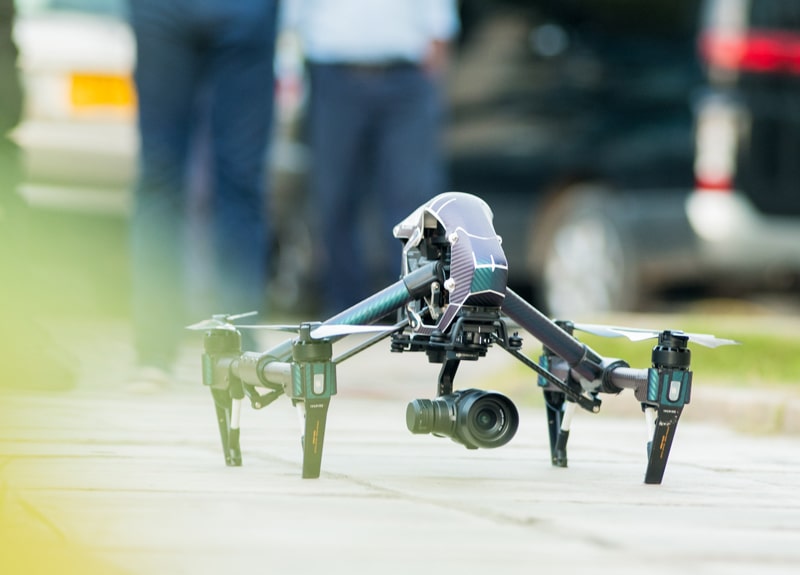
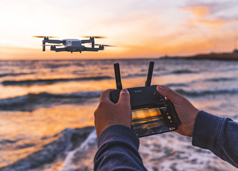
Aerial Surveying & Mapping
DUAI provides survey-grade aerial surveying and drone mapping image acquisition and post-processing services utilizing industry leading photogrammetry applications.
We provide everything from pre-flight planning, to image acquisition and analysis, to post-processing for your requested use. Alternatively, we have no problem providing image acquisition only if you plan on processing the images in your own software.